Aviation & Transportation

GridRaster brings Spatial AI to commercial aviation MRO, fleet sustainment, and heavy transportation. SPIDER turns aircraft, engines, and vehicles into live spatial data that technicians, inspectors, and robotic systems all work from — shortening turnaround times, capturing a traceable record of every task, and putting trainees inside an asset before it reaches the floor.
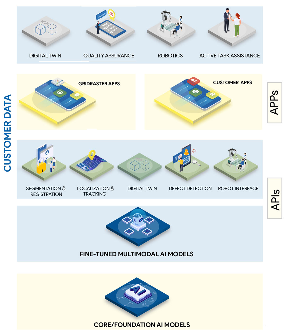
Some key capabilities of the SPIDER spatial data layer include:

Figure: GridRaster’s SPIDER Spatial AI Platform Architecture

  • Built on a modular, open architecture for long-lifecycle fleet programs
  • 3D model generation from commercial off-the-shelf devices, producing fully textured,
    production-ready digital twins of airframes, engines, and subassemblies in minutes
  • Automatic 3D object segmentation and bounding-box extraction
  • Reconstruction at 1:1 scale without polygon reduction
  • Markerless localization of assets and parts in real time, with no fixtures or fiducials
  • Real-time 6DoF tracking of inspection tools and sensors during use
  • Precise orientation, alignment, and anchoring of digital twins to the physical asset

Modeling and Simulations

Provides a Unified and Shared XR Infrastructure for Ultra-realistic Simulations and Training

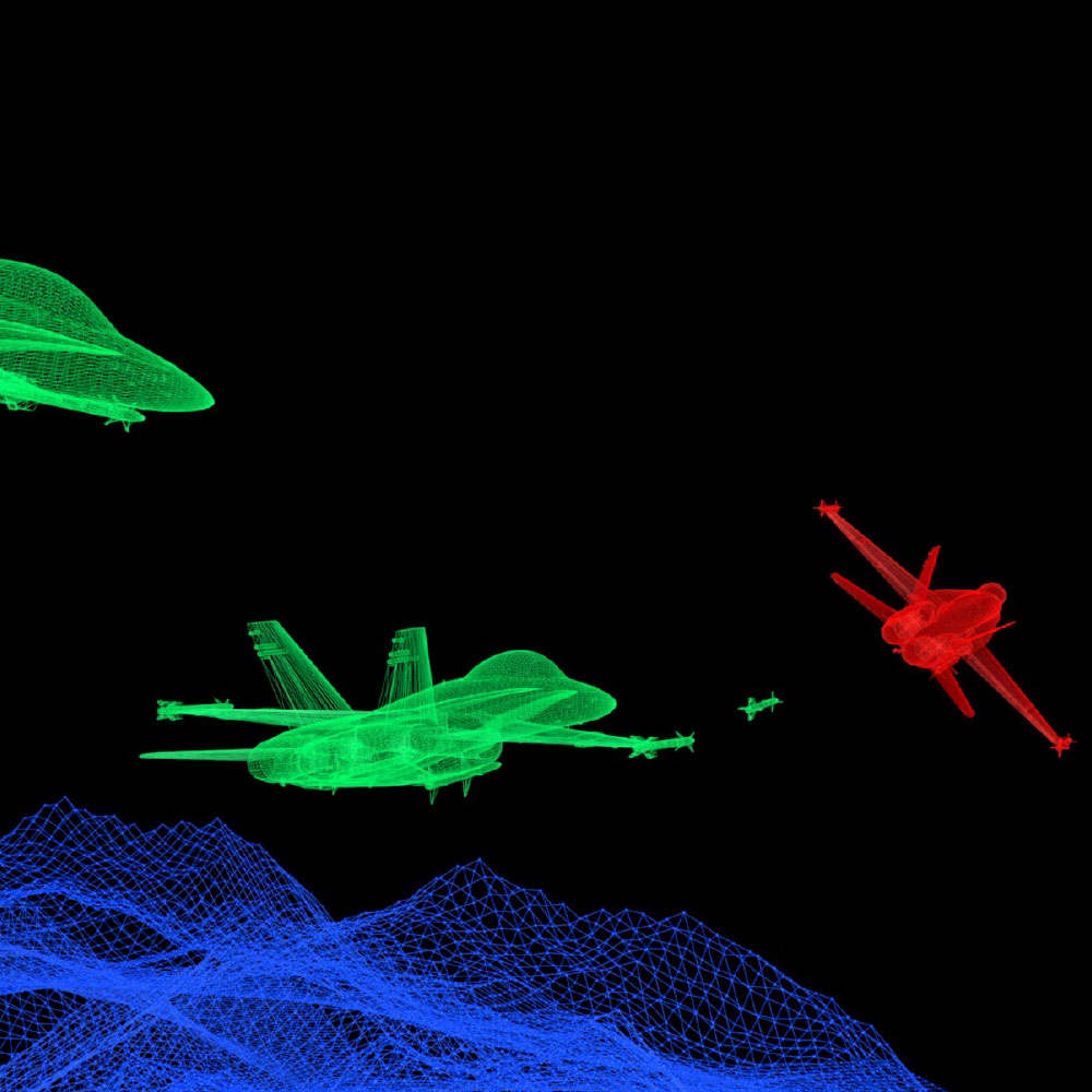
GridRaster’s XR Cloud Platform combines the best of gaming technologies and concepts with traditional simulator capabilities to enable high-quality, multi-user, multi-domain, multi-networked AR/VR/MR experiences on commodity off-the-self devices powered by distributed cloud computing, low-latency remote rendering and 3D Artificial Intelligence (AI) based spatial mapping. This lays a strong foundation for a unified and shared synthetic training environment that is flexible enough to allow for mission rehearsals of most types and intuitive enough to make training effective ensuring pilots and maintainers are trained better, faster and foster deeper learning.

Repair, Maintenance and Training

Enables high precision AR Toolset for most efficient and effective troubleshooting

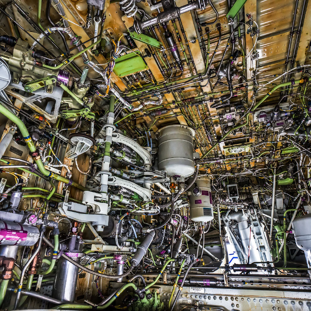
GridRaster uses remote rendering and 3D AI to enable most accurate routing, clamping, abatement placement and hardware attachment. This helps hugely to increase maintainer accuracy and speed during field installations due to intuitive visual overlays and instant availability of desired information.

3D visualization and Real-time Collaboration

Affordable and Secure Ultra-low Latency Real-time End-to-End Collaboration in Mixed Reality

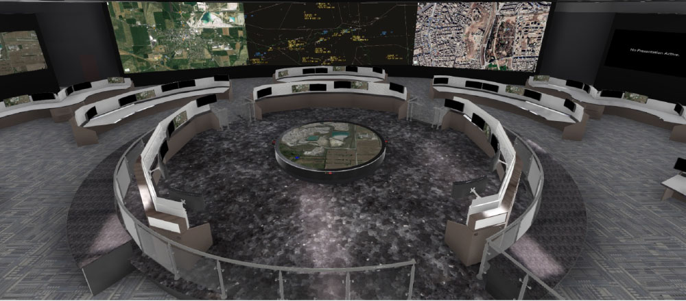
GridRaster’s XR cloud-platform enables ultra-low latency mixed reality environment for real-time collaboration across anywhere in the world, where users can interact, share and communicate in a more immersive and situationally aware environment. The platform delivers improved 3D visualization and mission planning capabilities, intuitive presentation of relevant and timely mission information, and new communication capabilities for geographically separated teams operating in a joint or multi-domain operation (MDO). Using GridRaster platform senior leaders can enter a virtual environment where they feel that they are in the remote operations center and can interact with the remote team as if they were in the same room. This includes viewing and interacting with individuals, sensor feeds, air vehicle status, GIS data, etc.. Also, the system is easily portable, so that the set-up can be created in remote areas of the globe and still use all its capabilities.